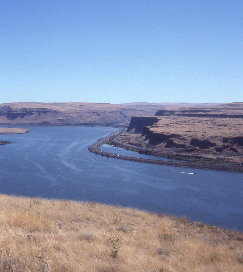

Looking across the Columbia River from the Washington State Route 14 rest area above Wishram, Washington, three different transportation corridors are visible (four, if you count the heavy barge traffic on the Columbia itself). Just visible against the cliffs is the Oregon Trunk mainline, coming off the Celilo vertical lift bridge (out of the picture at right) and about to tunnel through the large outcropping in the center, after which it will turn right into the Deschutes River Canyon on its run to Bend, Oregon and beyond. Below it is the Union Pacific mainline; a careful look will reveal a westbound UP freight abount to follow the bend in the river.
Construction of Interstate 84 along the south bank of the Columbia posed a number of knotty problems, mostly due to the fact that the UP had already pre-empted most of the river bank. In some cases fill was added to provide a right of way for the highway; in others a ledge was blasted out between the railroad and the bluffs. Here an actual causeway was built out into the river for the highway.